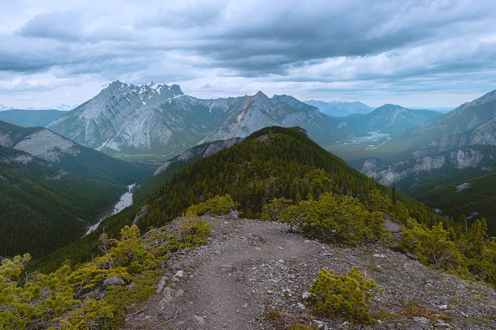
Wasootch Ridge is a perfect summer or shoulder-season hike in the stunning Kananaskis region near Canmore, AB. The challenging incline is rewarded with heartstopping 360-degree views for a good portion of the ridge hike. Read on to discover why you should add this trail to your hiking bucket list, and important things to know.
Wasootch Ridge Details:
Location: Kananaskis, AB, Canada
Distance: 15.4 km round-trip
Elevation Gain: 1,451 m
Time: 5-6 hours return
Route Type: Out-and-back
Rated: Difficult
Note: I didn’t consider this a technical hike, so my assumption is that the “difficult” rating was given more-so for steepness and length
WASOOTCH RIDGE TRAIL DESCRIPTION:
Be prepared for a steep trail at the start
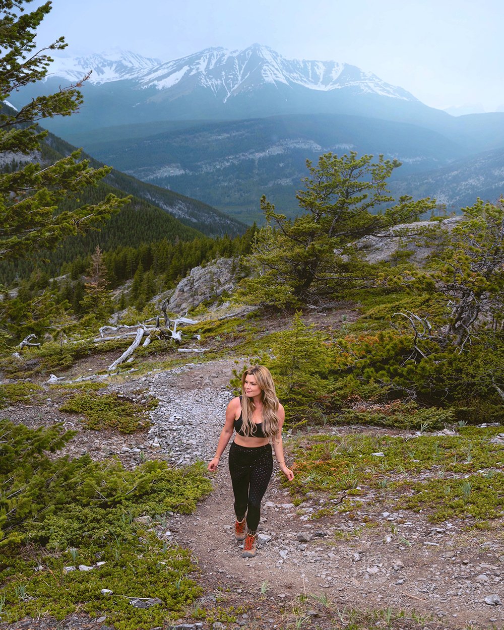
The start of this trail begins very steeply and climbs up into the trees, for about 20-30 minutes. You’ll be climbing up a trail that is full of small pebbles and rocks, the type of terrain that can lead to skidding and potential slips on the way down. Keep this in mind during the descent, and bring poles to use!
A variety of different side trail routes snake around the main, heavily-trodden trail. From my knowledge, all of these will take you to the correct destination at the top of the ridge.
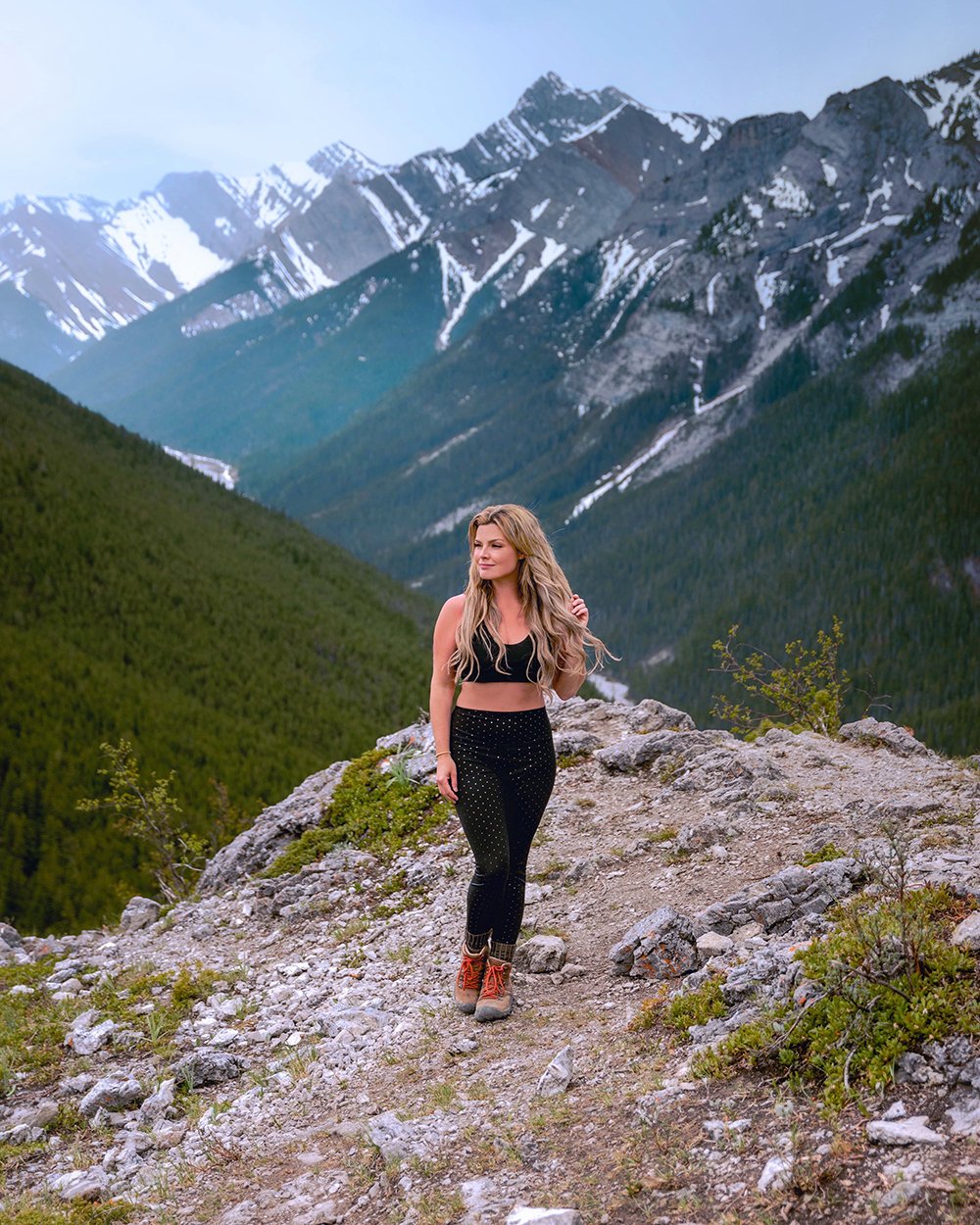
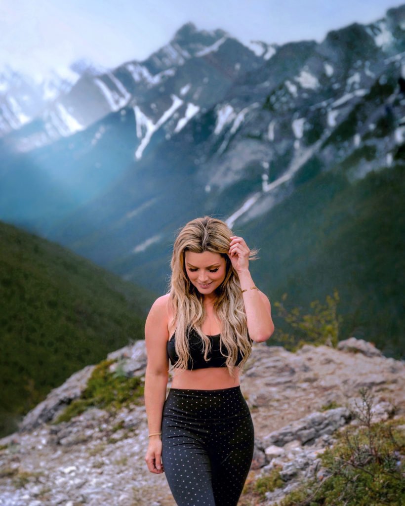
Once you pop out of the trees, you’ll find yourself up on a ridge with spectacular views that stretch from the Nakiska Ski Resort over to Barrier Lake.
Back into the trees
After you explore the ridge for a bit, you’ll continue on into the trees, and the trail evens out considerably – a welcomed break from the steep incline you’ve just tackled. There will be a second steep section to follow, but it isn’t quite as bad as the initial first steep section.
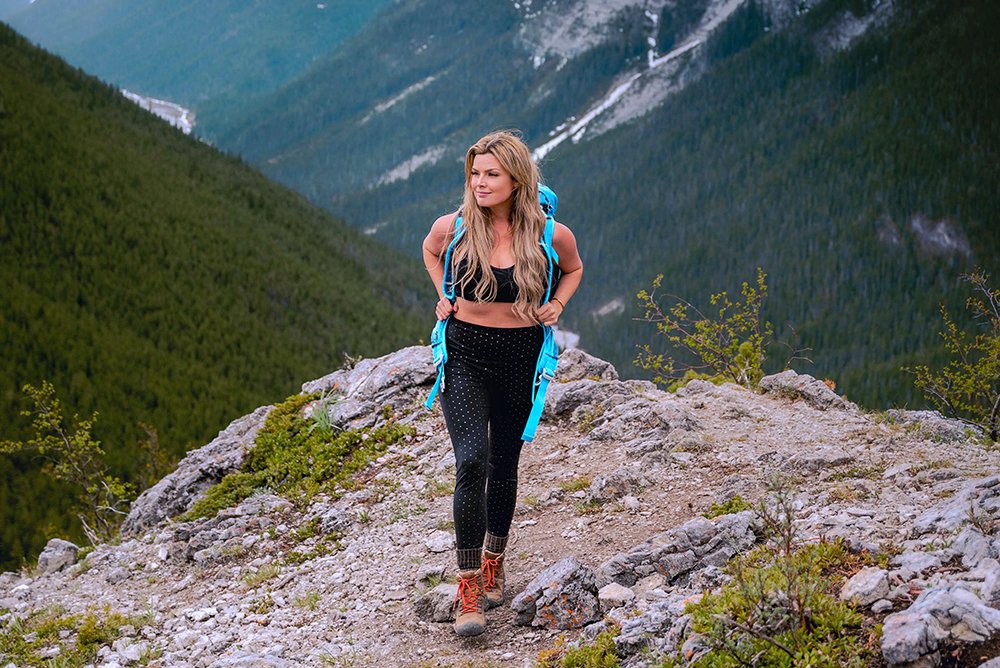
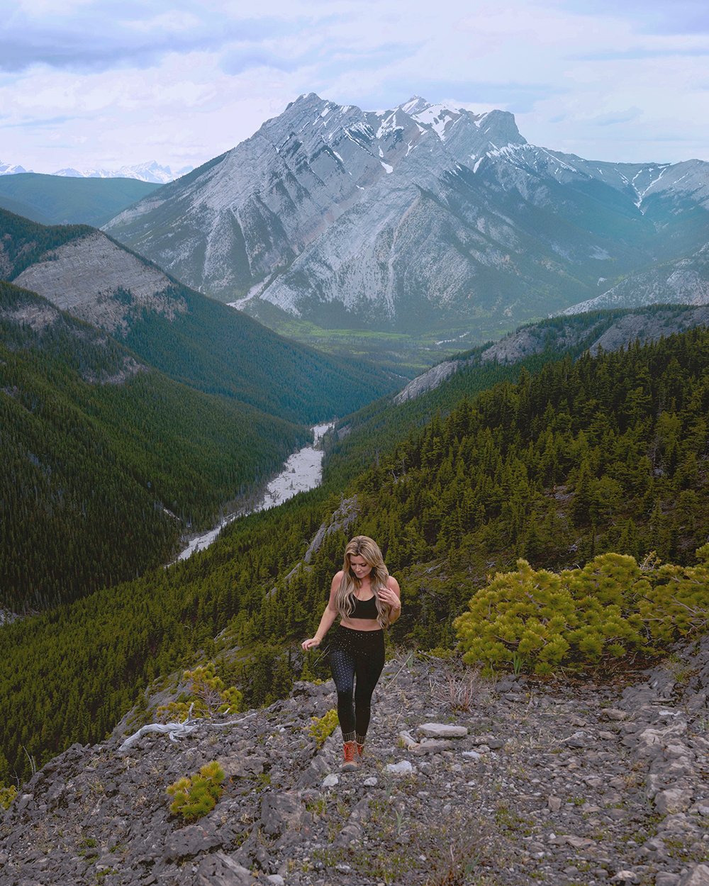
You’ll continue on the ridge, climbing up, and then down, three times. Don’t worry, the undulating elevation gain and loss is worth it.
Note: There is one short section where you will find yourself on the edge of a ledge, with some exposure over a small cliff. There are handholds, a tree branch, and places to plant your feet, so just pay attention at this section and you’ll be through it in no time.
Climbing the Wasootch Ridge
You’ll walk the ridgeline, up and down, for quite awhile, but most of it is cruisey and quick. Eventually you’ll find yourself at a large, open rocky area marked with a cairn. We stopped here to have lunch. Once you’re at this spot, you’re about 6 km in, and have done about 762m of gain. This is a popular turn-around spot and has amazing views.
If you decide to continue on, the trail to climb the next peak is clearly marked, so just continue onwards up the ridgeline. It’s another 1.5 km or so to the true summit, but this short distance can take another hour or two, depending on your cardio and navigation abilities.
Note: there is some scrambling involved if you decide to go all the way to the true summit.
Where is the Wasootch Ridge Trailhead located?
The trailhead is located at Wasootch Day Use Parking Area along highway 40 (see map). Drive all the way to the big parking area and park.
The trail begins into the trees, near the big sign that says “Wasootch Creek, A Change in Climate”. Look into the trees, behind the parking area, and find a series of faint trails that begin behind a picnic table. Take one of these trails up the hill, until it connects with the “main” trail.

DO NOT head up Wasootch Creek, on the flat rocky path! This is a different hike – Wasootch Creek Trail – and will NOT lead you up onto the spectacular ridge.
![]()
Kananaskis Weather
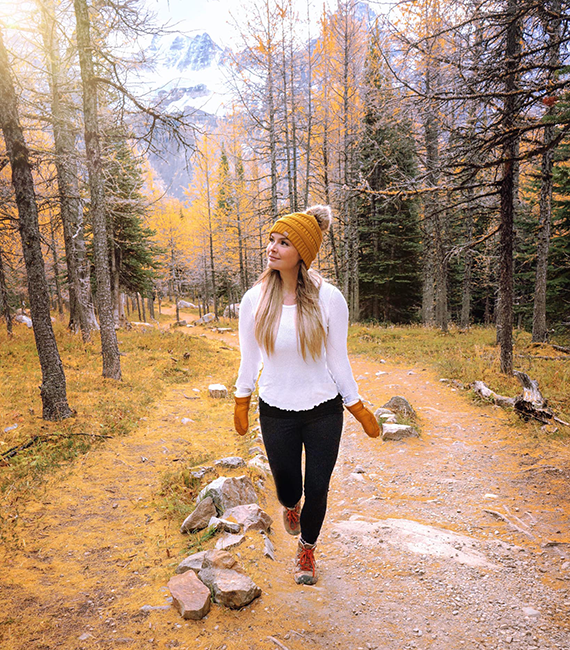
Remember that in Kananaskis, like most Rocky Mountain ranges, the weather can change extremely quickly. You might get to experience all four seasons in one day! Our day began very clear and sunny and ended with high winds and rain almost as soon as we reached the top of the ridge. Come prepared, with many layers, and gear adequate for all types of weather.
Also, there may be snow at the top of this trail well into late June, so come prepared.
![]()
Ticks in Alberta
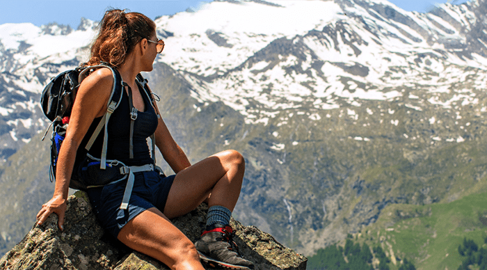
Yes, there are ticks in Alberta. Ew! However, you can avoid being bitten by a tick as much as possible by taking a few precautions, like staying on the trail, avoiding trees/branches and long grass, covering your head, tucking your pants into long socks, and wearing bug spray with Deet. I have a blog post all about ticks in Alberta and how to avoid them, as well as a blog post dedicated to the best tick-repellant clothing.
![]()
Hiking Gear
Looking for some recommendations on hiking gear that will last? Here are a few of my recommendations:
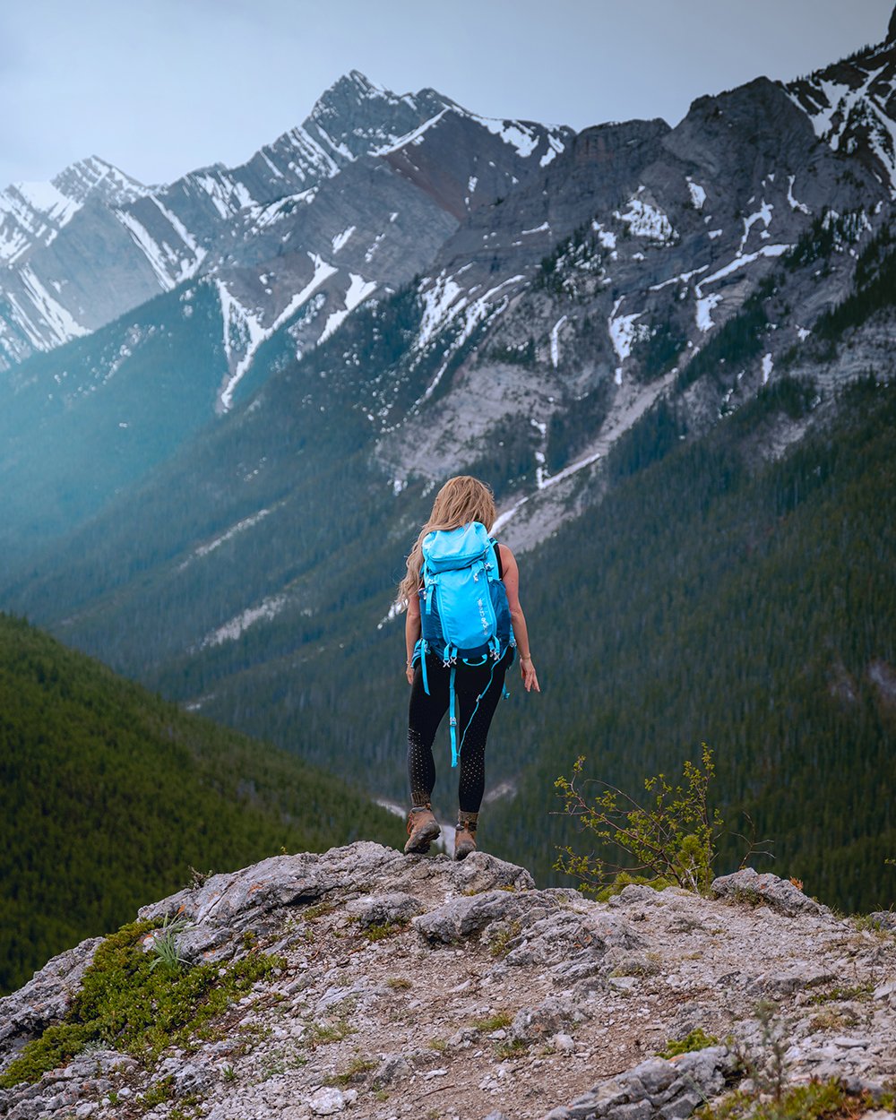
Backpack:
I HIGHLY RECOMMEND:
- Osprey Packs Ariel AG 55L Backpack – Women’s
- Mammut Trion Guide 45+7L Backpack
- Deuter Aircontact Lite SL 45+10L Backpack – Women’s
- Gregory Maven 45L Backpack – Women’s
- Arc’teryx Bora AR 50L Backpack – Men’s
- The North Face Cobra 60L Backpack
- Gregory Stout 45L Backpack
- Osprey Packs Eja 48L Backpack – Women’s
Hiking Shoes:
I HIGHLY RECOMMEND:
- KEEN Oakridge Hiking Shoe – Women’s
- Merrell Moab FST 2 Hiking Shoe – Women’s
- Merrell Chameleon 7 Stretch Waterproof Hiking Shoe – Men’s
- KEEN Targhee ll Waterproof Hiking Shoe – Men’s
Hiking Poles:
I HIGHLY RECOMMEND:
Headlamp:
I HIGHLY RECOMMEND:
LOVE IT? PIN IT!
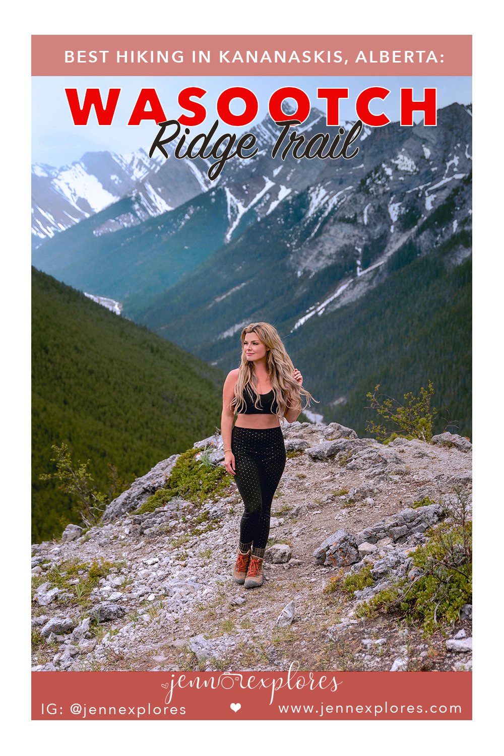
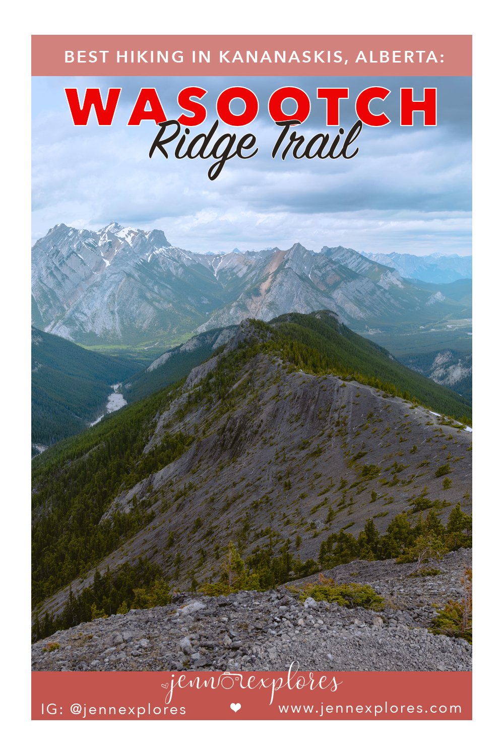
![]()
Questions or comments about Kananaskis, Banff, Lake Louise, or Jasper? Some other topics you’d like me to cover? I’d love to hear from you, just leave me a comment below!

















leave me a comment